El riesgo de incendio, antes del humo
El riesgo de incendio forestal en directo, a 50 m de resolución. Construido para el Mediterráneo.
Tecnología
Cómo lee Sentinella el territorio
Ese punto naranja es una de nuestras celdas, dibujada a escala. En un solo cuadrado de la malla nacional caben 40.000 celdas de Sentinella.
Cómo se hace hoy
La mayoría de los sistemas nacionales de incendios siguen evaluando la meteorología en cuadrados de este tamaño: un solo color extendido sobre toda una costa. Un pueblo y la loma vacía que tiene encima reciben el mismo número. Así es como cada año se tarifican mal entre 150 y 350 M€ de prima en la cartera residencial de interfaz urbano-forestal de España.
Cómo lo hace Sentinella
Puntuamos el riesgo de cada celda de 50 m del territorio. Lo bastante pequeña para identificar un edificio concreto y lo bastante precisa para tarificarlo.
Riesgo
De la señal al riesgo
Sentinella lee todas las señales públicas disponibles (satélite, meteorología, relieve, histórico) y modela dos cosas para cada celda de 50 m: dónde es probable que empiece un fuego y hasta dónde llegaría. Fusionadas, son un solo número: el riesgo de incendio forestal.
El modelo
Qué observamos
Señales públicas de entrada
Dos motores
Cómo se modela el riesgo
Riesgo de incendio
Un solo número de salida
Qué observamos
Señales públicas de entrada
Dos motores
Cómo se modela el riesgo
Probabilidad de ignición
Dónde empieza el fuego
Propagación
Hasta dónde llega
Riesgo de incendio
Un solo número de salida
celdas de riesgo de 50 m solo en Ibiza
de igniciones históricas
compuestos satelitales mensuales desde 2000
ciclo de actualización con datos en directo
Casos de uso
El seguro está infravalorando el riesgo de incendio forestal
El riesgo de incendio forestal se tarifica por zonas de código postal trazadas hace décadas. A 50 m de resolución, cada edificio recibe la prima que le corresponde.
El incendio de 2011, edificio a edificio
edificios dentro de la huella del incendio de 2011
valor asegurado total en esa loma
pérdida anual modelada en el conjunto
Solo en esta loma, unos 50.000 € de prima al año están en las pólizas equivocadas. Extrapolado a la cartera residencial de interfaz urbano-forestal de España, son entre 150 y 350 M€ al año de prima mal tarificada.
Cifras indicativas, ancladas en hipótesis de coste de siniestro para interfaz urbano-forestal mediterránea. La calibración de producción usa la siniestralidad de la aseguradora, disponible en el piloto.
El vacío de datos de la administración
España gasta 2.700 M€ al año en apagar incendios. La mayor parte se gasta después de la ignición.
La misma superficie de riesgo, otra pregunta: ¿dónde invertir el presupuesto de prevención? Sentinella puntúa cada celda para que bomberos, Protección Civil y planificación territorial prioricen con precisión y sin desperdiciar recursos.
quemadas en España en 2025
gasto público anual en extinción
pérdidas económicas totales estimadas
quemadas en la UE en 2025 (EFFIS/JRC)
pérdidas económicas anuales en el sur de Europa
cada euro en prevención evita entre 4 y 7 € en daños
España: datos de extinción del MITERD y Guillén et al. (2023). Superficie quemada en la UE: EFFIS/JRC.
Priorización de cortafuegos
Dónde desbrozar primero
Protección Civil
Dónde posicionar los medios mañana
Territorio y redes
A qué está expuesta la red eléctrica
Equipo
Quiénes somos.
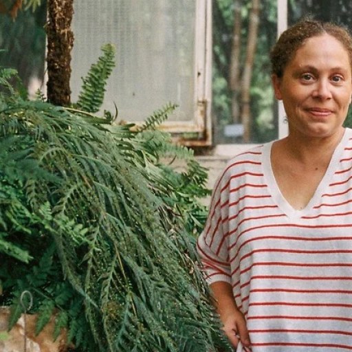
Clara Cano
CEO
Conecta el territorio, la ciencia ambiental y los mercados que necesitan tarificar el riesgo de incendio forestal. Dirige la estrategia de impacto y las alianzas.

Alfonso de la Osa
CTO
La arquitectura de la plataforma: flujos de datos geoespaciales, infraestructura predictiva y escalabilidad entre territorios.

Maximilià Goldston
CDO
El motor analítico: descubrimiento de patrones en clima, biomasa, relieve y 40 años de historial de igniciones.
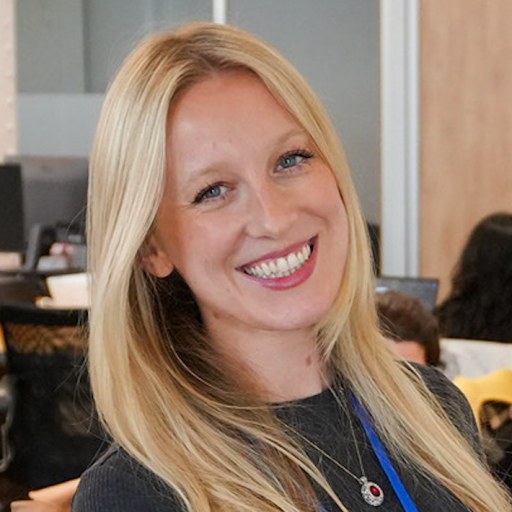
Eleanor Manley
CSO
Emprendedora en serie, con dos empresas fundadas; dirige la estrategia corporativa, la financiación y la estructuración comercial.
Inspirada en la experiencia de campo de Regenera Natura en las Islas Baleares, Sentinella nació para apoyar la regeneración forestal, la recuperación de la biodiversidad y la resiliencia a largo plazo de los ecosistemas.
Pilotos y alianzas
Hablemos.
Sentinella puntúa el riesgo de incendio forestal de cada celda de 50 m del Mediterráneo: suelo residencial, agrícola, infraestructuras y monte público. Un piloto entrega el riesgo por inmueble en 30 días.
Con el apoyo de